A Magical Modified R2R2R
Practical tips for spending a whole day running & hiking in the Grand Canyon
Welcome back! Because this post is photo-heavy, the email version may be truncated. Click the headline to read the full version on a browser or on the Substack app. At the end of today (Wednesday, May 17), I’m hosting a monthly Zoom for paid subscribers, and we’ll talk about this adventure and also swap travel tips. Please upgrade to a paid subscription if you’d like an invitation to monthly online chats plus bonus posts.
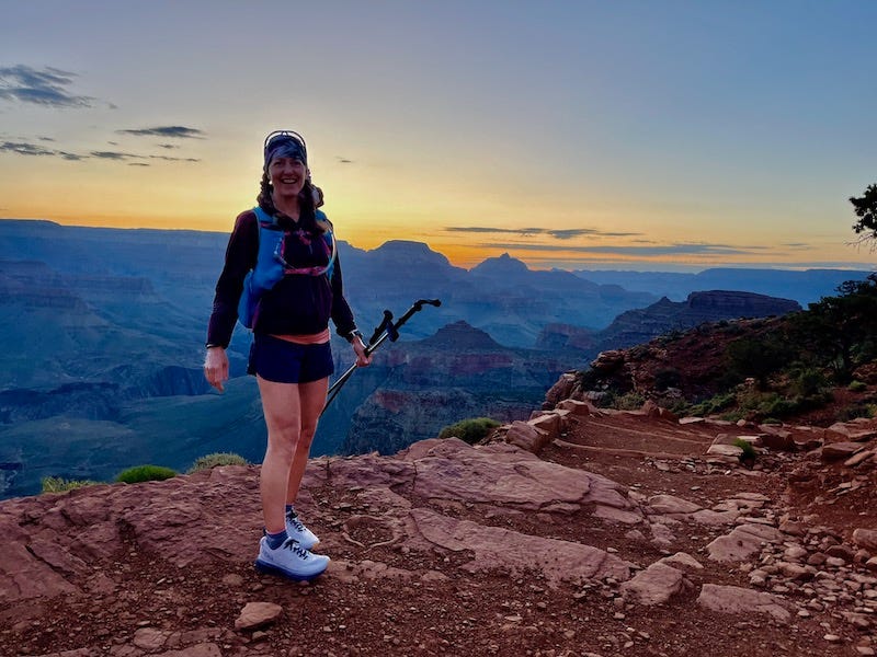
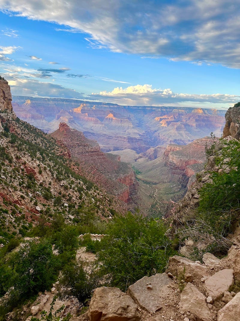
Just before dawn on the South Rim, the Grand Canyon stretches out in dark blue shadows and appears as deep, wide, and vast as an ocean. The rising sun gradually illuminates maze-like canyon walls whose layers and hues create mind-boggling geographic timelines.

I’ve seen the whole stretch of the Grand Canyon from under its rim during an eight-day rafting trip on the Colorado River a decade ago. Now, I’d get to see its most popular cross-section during a daylong adventure run with four female ultrarunning friends.
This post will tell the story mostly in photographs, because I’ve decided to use the text in the second half to share practical advice for other would-be Grand Canyon trekkers. Some of the most hilarious and memorable times with my friends on the trail last Monday, May 15, involved conversations with personal stories and trash-talking that I’d rather keep private. “What’s said on the trail, stays on the trail,” we told each other.
The R2R2R Getaway Gift
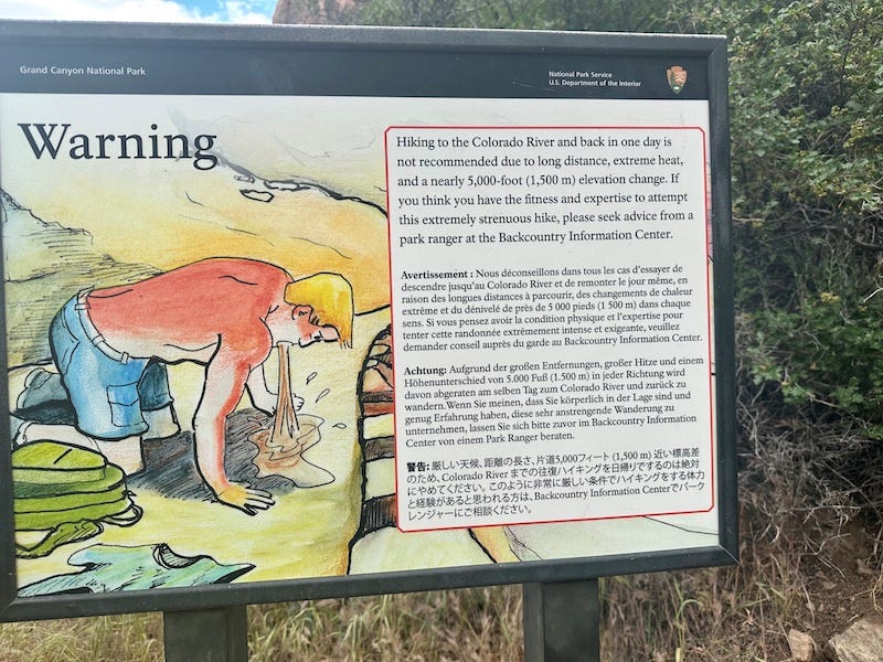
I planned this trip around new year’s as a combo birthday/Mother’s Day gift to myself, having wanted for years to do the epic Rim-to-Rim-to-Rim, aka R2R2R, that many ultrarunners count as a must-do in their lifetime. The National Park Service warns against doing even half that much—the point-to-point, 21-mile Rim to Rim—in a day, unless highly experienced. But I was confident I could handle the out-and-back, and I invited runner friends who I was confident could, too.
Alas, our plan for a R2R2R in mid-May got dashed by a National Park Service announcement that the North Rim would remain closed until June due to trail damage from the heavy winter. That meant we could only run about three-quarters of the way across, before having to turn around at Cottonwood Campground.
No matter, we came up with a Plan B with similar mileage. The North Rim closure in many ways turned out to be a blessing, because it meant much smaller crowds doing a rim-to-rim last Monday. It also prompted us to explore a beautiful east-west side trail. We saw hardly any other runners or hikers on the North Kaibab Trail or the east-west Clear Creek Trail.
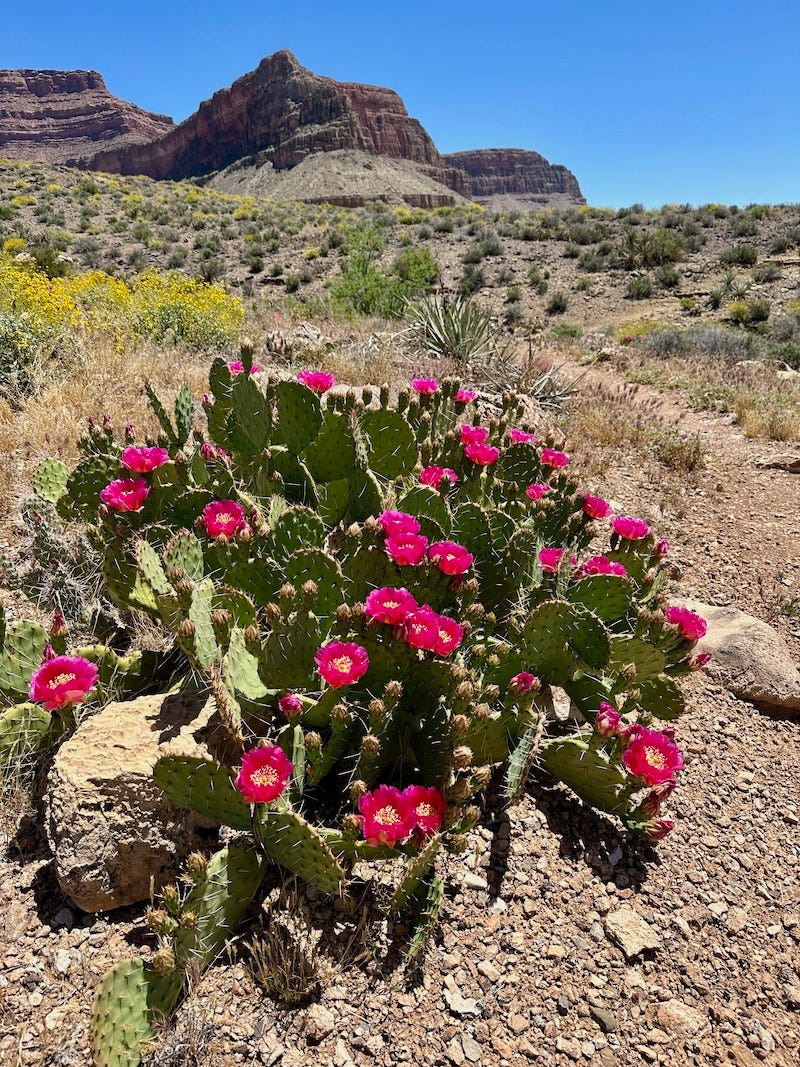
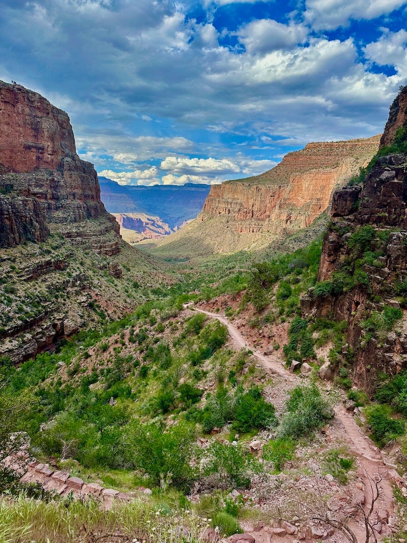
I’m so glad, in hindsight, we did not reschedule our trip for June for the standard R2R2R, because mid-May’s temps were plenty hot (we roasted in the early afternoon sun), and more importantly, I believe we witnessed the canyon at its most magical time of super-blooming greenery. Heavy winter and spring rains meant the desert landscape turned an unusual amount of green, bursting with flowers. Plus, it rained heavily the day before our run, so everything looked bright and clean rather than dusty.
How the Day Unfolded
I invited eight friends on this run, and in the end, half of them couldn’t make it due to family, work, or travel issues. In the end, it was me with four others: Suzanna Bon, Clare Abram, Katie Debski, and Amy Gordon. A group of five turned out to be a good size. Four of us shared a room at the Maswik Lodge on the South Rim (we got two queen beds with a kitchenette—it’s a really nice hotel, and I highly recommend it), while Amy slept in her camper parked right outside our door. All of us comfortably sharing one room made for a fun girly sleepover with seemingly endless bathroom jokes.
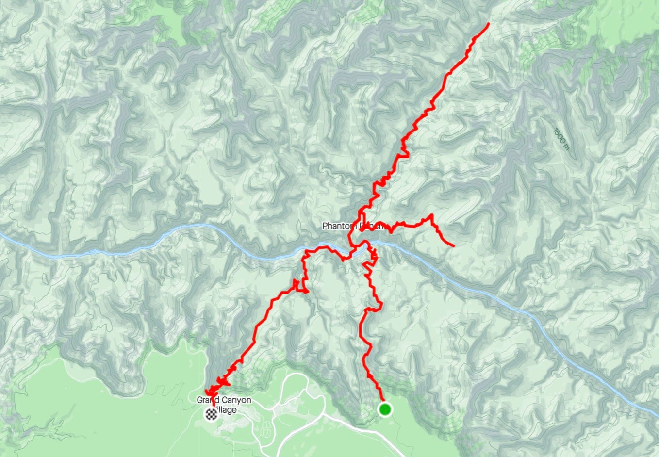
We woke up a little after 3 a.m., left the room by 4:10, piled into a car, and drove a mile and a half to the Visitor’s Center, where we caught the day’s first Orange Eastbound shuttle at 4:30. The shuttle was packed with other early-starters. No parking is allowed at the South Kaibab Trailhead another couple of miles away, so taking the shuttle is the best option. (See below for advice on choosing South Rim trailheads.)
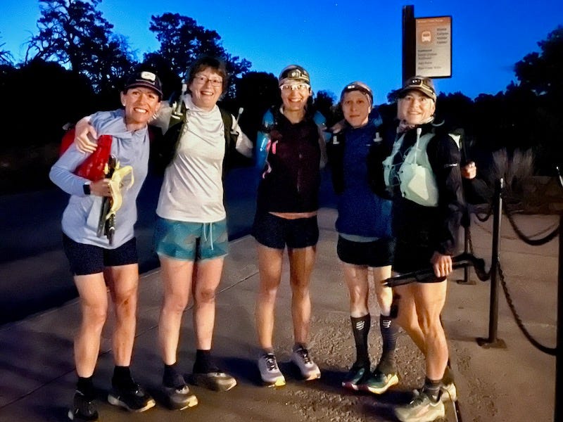
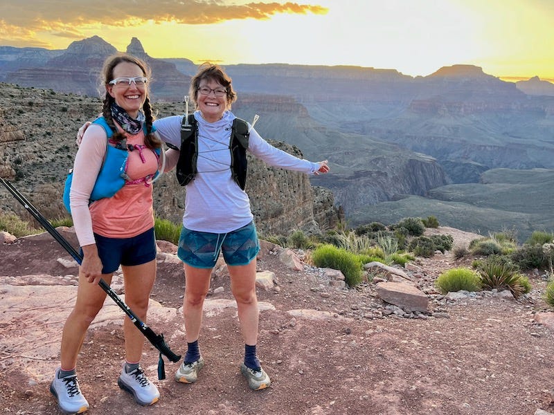
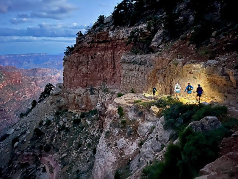
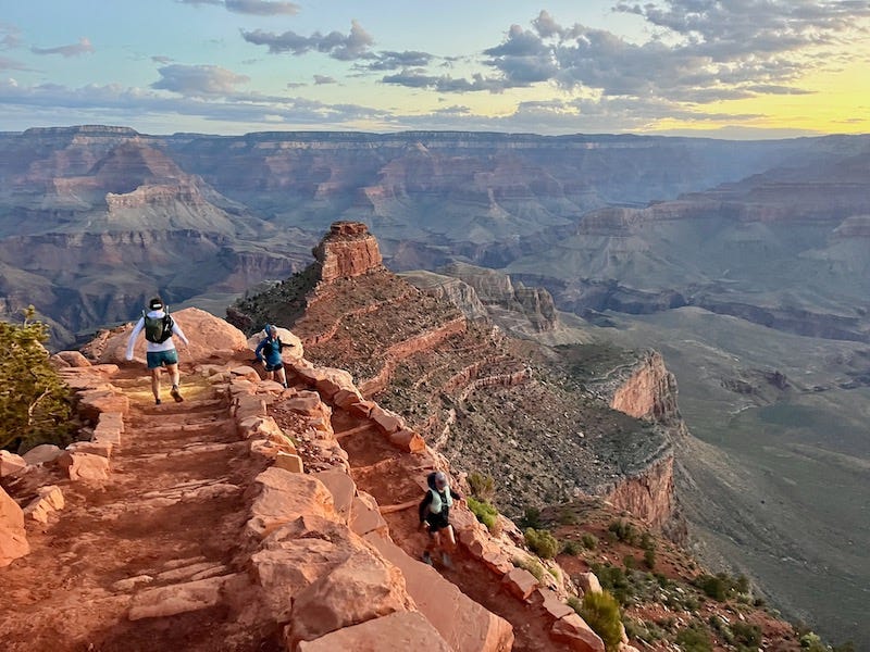
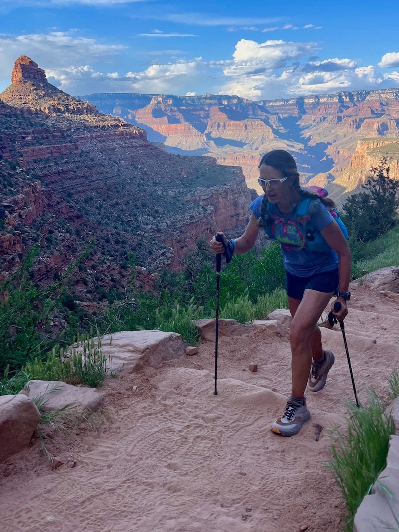
By 4:42 a.m., we were taking our first steps down the South Kaibab Trail! We ran at a cautious pace to navigate the rocks and built-in steps, using trekking poles to steady ourselves, not wanting to blow the day by tripping and rolling an ankle in the first hour. Within about ten minutes, we had passed other groups of hikers and felt like we had the whole glorious trail to ourselves. We needed headlamps for only about forty minutes before the sun came up enough to see well.
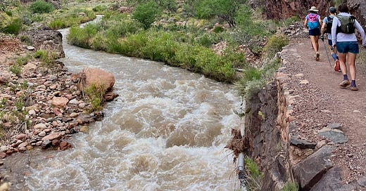
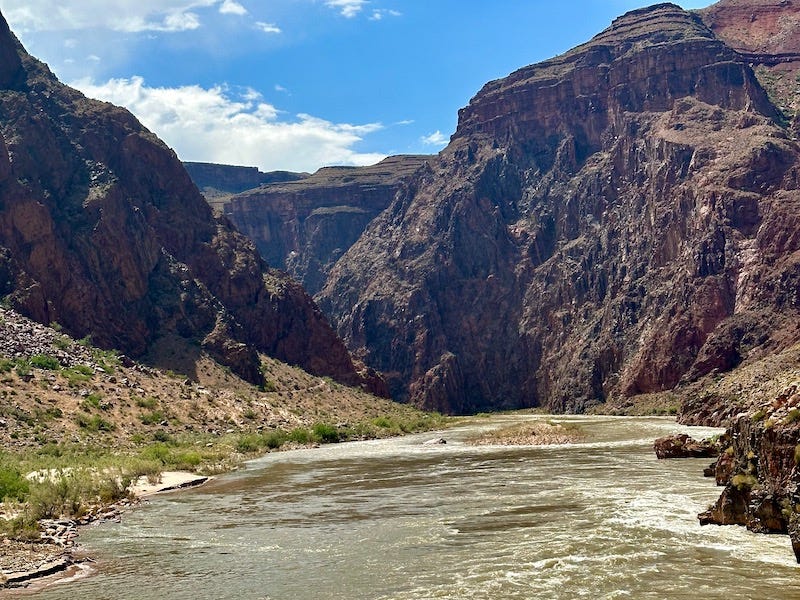
We reached the Colorado River, and I pondered how the whole Western U.S. is fighting over this flow—this life-giving vein, which now looks full and fast-flowing but likely will shrink in months and years to come. I reminded myself that reaching the river is not anywhere near halfway across the canyon; it’s only about seven miles down. The day was still young.
We ran the relatively flat stretch leading to Phantom Ranch, paused for a bathroom break, then hit the North Kaibab Trail—my favorite part.
The first flatter part of North Kaibab Trail, before it starts to climb, features several miles of stunning riverside trail lined by near-vertical reddish canyon walls. It’s shady, it’s runnable, it’s gorgeous. I felt as strong and flowing as the roaring Bright Angel Creek by my side.
Once the trail started to climb gradually toward the North Rim and became more sun-exposed, we spotted several fat, colorful lizards and a coiled-up rattlesnake warning us with its rattler. I grew up seeing rattlers in Southern California colored dark gray, but this snake looked light brown, presumably adapted to camouflage in its desert environment.
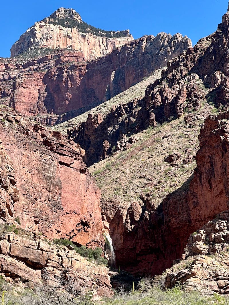
We reached a deep creek crossing a half mile in front of the Cottonwood Campground, where the North Rim closure is, and we decided to turn around at that creek. My feet felt good and dry, and I didn’t want to fully submerge my shoes so early in the day and thus risk blisters. We had hoped to take a side route near there to see Ribbon Falls, but Bright Angel Creek definitely was too high and fast to safely cross (a bridge that used to be there is washed out). It wasn’t worth the risk, so we admired a peekaboo view of the waterfall from afar.
Running back North Kaibab Trail, toward Phantom Ranch, was even more fun because it trended downhill. We stopped at a spray in a cracked water pipe that gushed like a firehose and cooled off. The temps were starting to rise!
We returned to Phantom Ranch, our watches showing about 20 miles, or half the day’s distance. But we knew the second half of the day would be significantly harder, so we took some time refilling our water, resting, and eating (I packed a delicious avocado-and-cheese tortilla rollup that hit the spot). We also bought cups of the world’s best lemonade from the Phantom Ranch canteen window (bring cash or a credit card to take advantage of the snack bar!). I put the remaining ice from my cup into my hydration reservoir to cool it off.
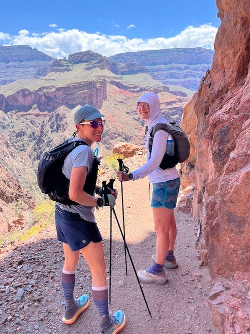
Refreshed, we backtracked about a third of a mile on North Kaibab to pick up the eastbound Clear Creek Trail. It’s a good thing we had rested and refilled, because this beautiful trail is fully exposed and exceedingly hot in the midday sun. It features a rugged climb up switchbacks in the first 1.5 miles, then rolling trail with sweeping views of the Tonto Plateau to the south. We could see the whole South Kaibab Trail that we ran in the early morning. I mistakenly thought this trail would be next to a creek, because of its name (“So clear, it’s invisible,” we joked), but only the Colorado River a thousand feet below flowed near us.
We turned around after about four miles on this spur, to head back to Phantom Ranch for one more rest stop before the final big push back up to the South Rim. Along the way, as my skin prickled in the heat and my heart rate spiked, I debated whether to order lemonade again or the canteen’s other beverage offering, iced tea. (Phantom Ranch doesn’t sell sodas, probably because it’s too much work to ship the product down to the canyon floor.) Then it hit me like a flash of brilliance: Arnold Palmer! I could mix the lemonade and iced tea, and order two of them! It’s crazy how happy and revived that thought made me. When I got back to Phantom Ranch, that’s exactly what I had, and the two iced Arnold Palmers tasted as refreshing as a pint of beer or a grande iced coffee.
I was pretty happy that I was managing my hydration, electrolytes, and fueling during the day to feel good, with no upset stomach or GI issues. I felt hot and tired, but overall pretty fine. I munched on another tortilla rollup, salty potato chips, and trail mix.
The same cannot be said for someone else in our group, who shall remain nameless because what she experienced could’ve happened to any of us. At our final Phantom Ranch pit stop, she drank and ate but did not look very well. And we had the hardest miles still ahead.
We crossed the Colorado River again and began the gradual 4500-foot ascent up the Bright Angel Trail. Pretty soon, our friend, who’s one of the most experienced and fastest in the group, started pausing and emitting tidal waves of vomit. We slowly made it up halfway to Havasupai Garden (formerly called Indian Garden), where we rested and refilled water, and she was sick all over again. The remaining four-plus miles were the steepest, and she dry-heaved the whole rest of the way.
I felt so sorry for my friend, but she was a trooper. She had zero hydration or calories left in her system, and she wobbled from nausea and light-headedness. We paused repeatedly to let her sit and rest, afraid she might pass out otherwise. I was grateful we had headlamps and a bivy, in case she needed to lie down and stay warm for an extended period (but she didn’t; she managed to get up from sitting each time). Our pace slowed to about 40 minutes per mile, and the temperature dropped dramatically with the sunset and higher elevation.
I didn’t mind the snail’s pace, because it gave me time to linger over the views and marvel at the greenery, and I didn’t want to rush anyone. Thankfully, we had prepared for this kind of scenario and planned to be out past dark.
We made it—of course we did! And we even finished before dark, with time to spare to get dinner at the hotel’s food court before it closed. Our sick friend revived with a Sprite and mac & cheese, incredibly resilient.
Our overall time, including all the rest stops, came to 14 hours, 37 minutes. But my watch estimated the actual moving time at 11:06. That means we had about 3 hours, 20 minutes of pausing, resting, or going so slowly that the GPS stopped recording. There is nothing wrong with that tortoise pace, and it’s still a lot speedier than most hikers. My watch measured the overall mileage at 39, but the others had 40 to 41 on their GPS, so I’m calling it 40. My watch also estimated the total elevation gain at a little over 8400 feet.
All in all, it was a stout ultra and, I believe, every bit as satisfying as a true R2R2R! Mostly, I felt empowered and enlivened by our camaraderie—by my trail friends forever.
What to Know If You Go
Embarking on a big Grand Canyon day takes planning and training. It also takes precautions for worst-case scenarios. My friend Clare on this trip did a R2R2R with runner friends a decade ago, and a mutual friend on that earlier trip fell, fractured her leg, and needed evacuation after an agonizing period of waiting for help. With that awful scenario in mind, I prepared for the worst and hoped for the best. My advice and gear list follow.
Don’t underestimate the heat, even in spring or fall. While the temperature at around 7000 feet elevation on the rims can be cold enough for snow or hail, necessitating gloves and a jacket, the bottom of the canyon cooks. I forgot to check the thermometer at Phantom Ranch, on the canyon floor around 2500 feet, but I believe it was close to 90. The average Phantom Ranch temp for May is 92. The heat mid-summer can be deadly and is in the triple digits; the average temp for July is 106. Anytime you’re out of the shade and on light-colored terrain (which is most of the time in the canyon), the light reflecting off the sand and rocks makes it feel hotter. I’m grateful we did this outing in mid-May, during relatively mild weather, and I’m concerned about all the runners and hikers who will attempt a rim-to-rim in hotter June, once the North Rim belatedly reopens. I’d recommend they wait until late fall.
Don’t underestimate the climb back out. We chose to descend South Kaibab Trail and finish by returning up Bright Angel Trail, for a few reasons: South Kaibab Trailhead requires a short shuttle ride from the South Rim visitor area, and we preferred to deal with a shuttle first thing in the morning rather than end of day (whereas the Bright Angel Trail ends right next to our hotel). Also, South Kaibab Trail is a little steeper, while Bright Angel’s switchbacks are a bit more ramp-like and manageable; and, Bright Angel is more shady and less exposed, so if the weather delivered strong heat or strong rain in the late afternoon, Bright Angel seemed like a better trail for late-day protection. Even though it’s slightly gentler and more moderate, Bright Angel is an ass-kicker of a climb, especially on tired legs! The trail ascends around 4500 feet in about seven miles. It gets steeper in the final miles, about 1000 feet per mile.
Don’t underestimate the need for fluid and electrolytes. “Hydrate or die-drate,” the saying goes. I carried about 50 ounces in a reservoir, 16 ounces in a soft flask bottle, and 20 ounces in a soft flask bottle with a filter (highly recommended, to refill at water crossings). In the reservoir, I used a packet of Liquid IV with 500mg sodium and only 45 calories. In the soft flask, I used a packet of high-calorie GU Rocktane energy mix, diluted to half strength, so it had about 160mg sodium and 125 calories. In the soft bottle with the filter, I carried only plain water. I liked this combo of energy/electrolyte drinks so I could sip higher-calorie liquid on the uphills, while breathing too hard to want to chew food, and then my main source of fluid from the reservoir had a good amount of sodium but not too many calories to feel overly sweet or filling. I also liked the plain-water backup. It’s good to have a lightly flavored hydration mix to mask the metallic taste of the water from some of the spigots. I refilled and drank from these three water holders, and replenished the electrolyte mixes, multiple times. I also had a total of three 16oz drinks at the Phantom Ranch canteen. Yet, I still felt dry-mouthed at times, and my pee turned dark from dehydration. You will need more fluid than you think, so carry more than you think you’ll need!
Don’t rush, and do build more time into your schedule. Many ultrarunners care about how their times look on Strava, and the best aim to get near record-setting times for R2R (rim to rim ~21 miles) or R2R2R (out and back ~ 43 miles depending on South Rim trailhead choices). I’m relieved my group didn’t care about our time and didn’t rush, because the added stress could have made our systems redline with overheating and overexertion. Plan for the day to be extra slow, and get groceries for dinner ahead of time so you have food when you finally emerge, in case it’s after the South Rim restaurant closing times.
Go with friends who are experienced, fit, and can take care of themselves. When I put out the call for women ultrarunning friends to join me, I only asked those who I felt were experienced enough with self-care on the trail that I didn’t need to worry about them. This is not a route for someone who is inexperienced with the distance, the heat, or what’s needed for systems management and basic first aid.
What to Bring
The following is my gear and first aid list, beyond basic running clothes and trail-running shoes. I fit it all in a 25L Raidlight fastpack I had used before for stage racing.
Sunglasses and regular clear-lens glasses (prescription)
Buff for head warmth in morning; for around neck after sunrise
Gloves
Sun hat
headlamp with fresh batteries
Garmin In Reach GPS tracker with SOS button
Safety whistle
iPhone in airplane mode to save battery
Black Diamond Z trekking poles
Katydyn bottle with built-in filter for plain water
500ml soft-flask bottle for high-calorie energy/electrolyte mix
1.5L reservoir for water with low-calorie electrolyte mix
Rain/wind lightweight jacket
short-sleeve shirt to change into (I started the day wearing a long-sleeve top)
ASO ankle brace (for sprained ankle)
Knee sleeve brace (for hurt knee)
Extra roll of self-adhesive bandage
Blister care: hypodermic needle, alcohol wipes, tape, small scissors to cut tape, lube
Regular first aid: sterile gloves, assorted-sized bandages, triangular bandage with safety pins (to make a sling or stop blood flow), antibiotic ointment, syringe to flush out wound, a few anti-inflammatories for pain relief and anti-diarrhea pills if needed, Tiger Balm for my sore knee (note: we should’ve added anti-nausea med to our supplies)
Emergency bivy
Anti-chafe lube
Sunscreen
A few small Ziplock bags with toilet paper; use the baggie to pack out used TP, leave no trace. Thankfully, none of us needed a “big potty break” trailside, because the rim-to-rim route has several well-maintained toilets along the way.
Extra socks: I brought a pair of socks for foot care, but ended up using them under my pack strap as a shoulder pad where my pack was digging in and hurting.
Card/cash for Phantom Ranch snack bar
Plenty of sweet and salty trail snacks; I had lots of trail mix, potato chips, two avo-and-cheese tortilla rollups, and Honey Stinger waffles, in addition to some calories and electrolytes from drink mixes. Plan to average roughly 200 calories per hour after the first hour.
For an excellent guide to planning a rim-to-rim outing, check out this post by the Halfway Anywhere blog.
To give back to the Grand Canyon and help protect it, donate to the Grand Canyon Trust.
Thanks for reading this long post about our awesome long day!







Wanted to wait until I had a good chunk of time to read this. What a trip! I’m sure I would’ve been puking right alongside whoever it was, given the heat and exertion. I’ve saved this post for future reference in case I ever attempt this. Way to go, all of you! Sounds tough, rewarding, and fun.
I enjoyed reading this R2R2R account. If you went on the Clear Creek Trail, you went by "The Couch". This was my step father's (Tom Harty of the Harty Party) favorite place in the world; he hiked down to Phantom Ranch at least 42 times. On a rock there is a plaque in his memory. He and my mother were murdered in a home invasion in 2016 and we spread his ashes there. Thank you for bringing up some good memories!